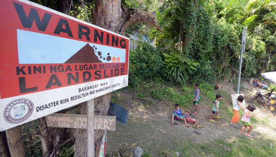
LOCAL government units are urged to enact an ordinance declaring danger areas as “No Build Zones” to prevent loss of lives and property.
Herbert Villano, Mines and Geosciences Bureau (MGB) XI Geosciences Division chief, said on Friday, that only a few LGUs from the region have acted upon their recommendation.
Villano shared that they distributed the updated Geohazard Mapping for flood and rain-induced landslide areas in May to various LGUs.
“Sa records namin may nare-receive na kami na reports from other LGU na ina-adopt na nila, they turn it into local ordinances, but several pa lang,” he said. However, he did not disclose the numbers.
Villano added they expect other LGUs to follow the mapping of MGB as a guide for the declaration of areas as “No Build Zone” especially those that are highly susceptible to flood and landslide.
He stressed that MGB is only mandated to undertake geological mapping, geohazards assessment, and provide geological laboratory and information services, it is up to the LGU to enact their recommendation.
To recall, 98 lives were claimed in a landslide in Masara, Maco, Davao de Oro on Feb. 6, 2024.
The MGB XI earlier announced that Masara has been identified since 2008, and has recommended the LGU to declare the area as a “No Build Zone”, however despite the declaration, people still occupied the area and built their houses.
“Especially if the area has been recommended by MGB that it is not habitable and not for structure, the LGU through their local ordinance will declare or delineate it in their Comprehensive Land Use Plan,” he said.
No-build zones refer to easement areas not recommended for human habitation due to the danger they pose to human life and/or property.
According to MGB, these include areas categorized under very high flooding and very high landslide, which are considered dangerous areas, especially during successive rains.
Construction of structures intended for housing or commercial purposes is prohibited in the area.
The official also reminded the public to use HazardHunterPH, an interactive online tool to indicate hazard assessment reports on the user’s specified location.
File Photo: Bing Gonzales

